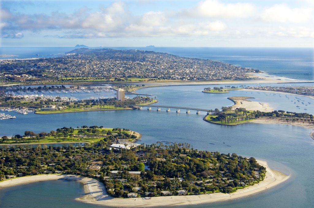
Hello and welcome, showcased through out this website pertains to rising sea levels and how it will affect the city of San Diego. As you may know, sea level rise is a major problem that our world faces today. Various factors contribute to rising sea levels and there is no doubt that rising global temperatures exacerbate this problem. It is imperative to spread awareness of this issue, hopefully the visual aids provided can help spread this awareness. Here we chose the city of San Diego as our area of focus, due to it being a densely populated coastal city. Here you will find various visual displays regarding coastal flooding in San Diego, including maps created with QGIS, API Maps using Carto, 3D visualization with LiDAR Point Cloud, and satellite images. Shown above is Mission Bay, San Diego, one of the most vulnerable sites to coastal flooding due to rising sea levels.