Images
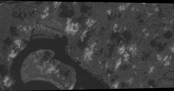
Here is a GeoTiff image of Coronado
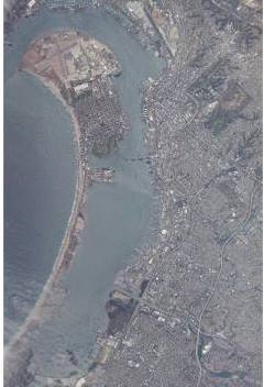
Here is a satellite image of Coronado, this captured by an Orbview-3
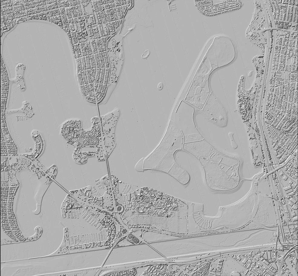
Here is the Digital Elevation Model I used for LiDAR Data vieiwing in the SAGA software.